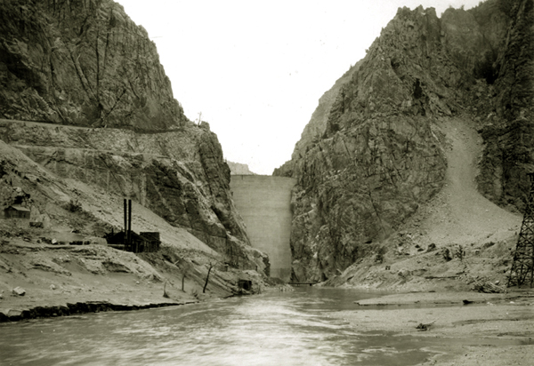
View of Shoshone Dam from upstream, September 1909, before
reservoir filled.
In the above photo on the left, the roadway which will ultimately go along the north shore of the
reservoir is under construction. Other views of the building and tree above and to the left of the dam are below.
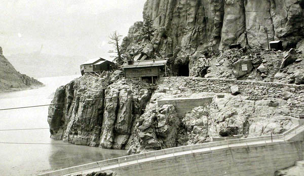
Shoshone Dam, 1910. Photo by F. J.
Hiscock.
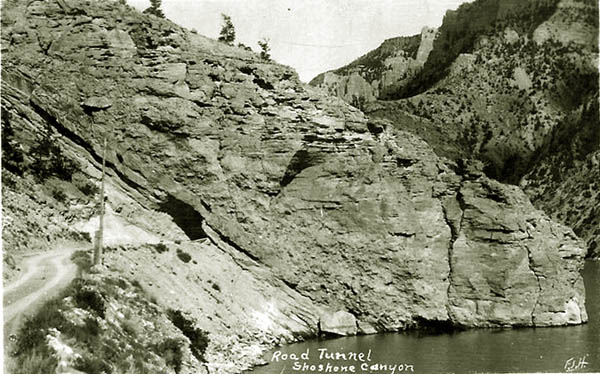
Construction of a roadway to the dam and reservoir required construction of tunnels. At first the tunnels were single-lane affairs.
Completed dam,
1910.
To the right of the buildings is the portal to a wagon road tunnel which emerges on the other side of the
buildings. See next photo.
Roadway emerging from tunnel above dam,
photo by F. J. Hiscock,
1910.
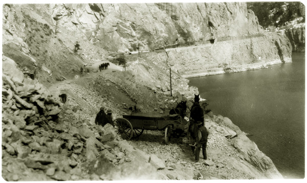
Construction of wagon road above canyon,
approx. 1909.
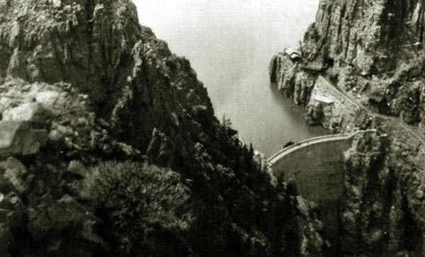
Aeroplane view of dam, undated. Photo by F. J. Hiscock.
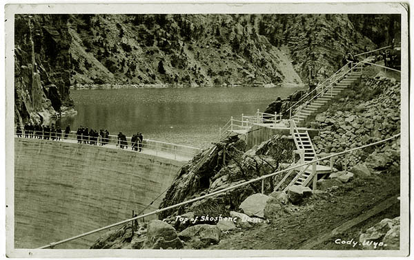
Top of Shoshone Dam, approx. 1910.
Not withstanding the completion of the dam in 1910 and the completion of a raod to the reservoir, reconstruction of
a road to Yellowstone was not completed until 1916. The Reclamation Service in its 1916 Annual report, at pages 489 and 490 explained:
The old trail from Cody to Yellowstone Park was located on the south side
of Cedar Mountain, crossing the South Fork of the Shoshone River near
Marquette and continuing thence along the south side of the North Fork.
The construction of Shoshone Reservoir submerged several miles of this
road and left no outlet for the ranchers living between the two forks
of the river. The Reclamation Service prepared plans for the construction
of 11 miles of Between Forks Highway. One-half of the work was completed
in the fall of 1911 and a steel bridge erected across the South Fork of
Shoshone River. The county ofiicials agreed to cooperate with the
Reclamation Service in the construction of this road to the extent of
securing all necessary rights of way. Because of some difficulties arising
in securing such rights of way construction work was suspended and not
resumed until April, 1914, when a short reach was completed at the
crossing of the Cody Canal. The balance of the road, which runs along the
south side of the north arm of the reservoir, was completed in the spring
of 1915.
Construction and the completion of the Dam and Reservoir required the relocation of the Cody Road.
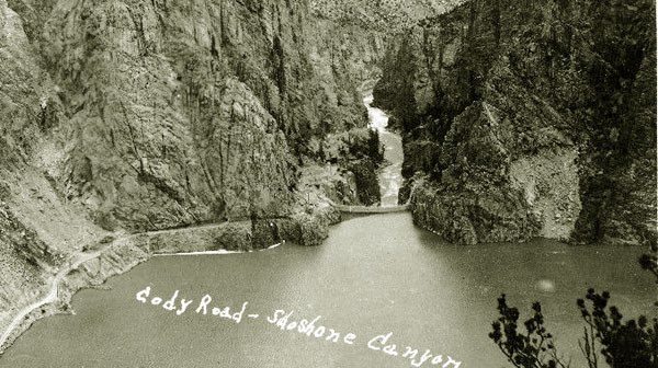
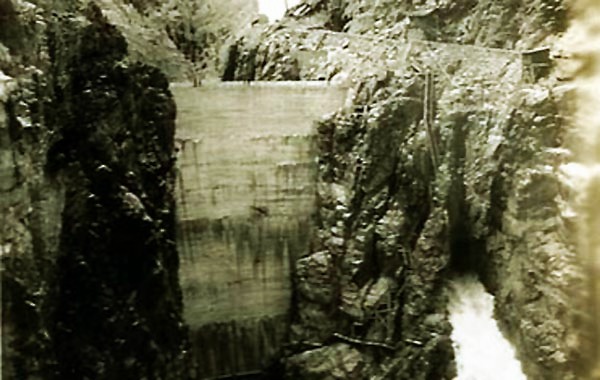
View of Dam and down canyon toward the east, aprox.
1916.To the left of the dam is the spillway. Above the spillway where the
rock changes color is the entrance to a tunnel which emerges just below the
dam. In the distance where the stream disappears around a curve may be made out a
portion of the newly constructed road on its approach to Dam Hill.
Music this page: Steel Guitar Melody as played
by Douglas Venable and his Bar X Ranch Hands for Courtney Rocords in 1946. Composed by
Leodie Jackson.
Next page: Cody Dam continued.