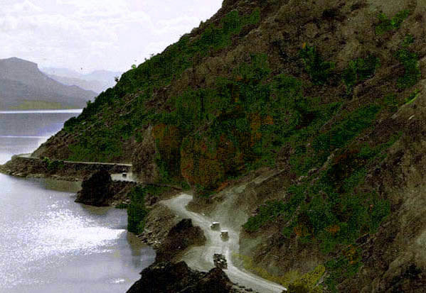
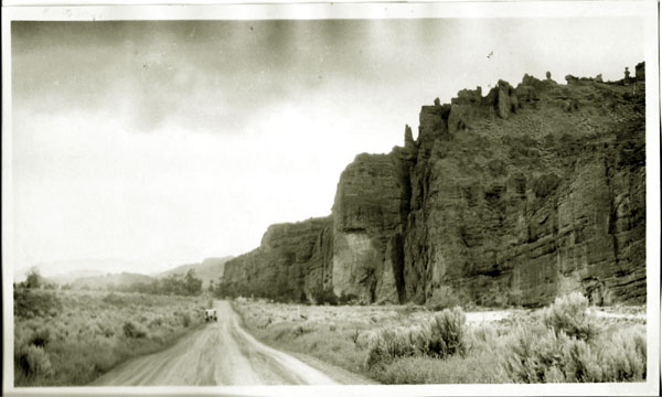
Cody Road along north shore of Shoshone Reservoir, approx. 1926.
Image by G. B. Dobson based on a photo.
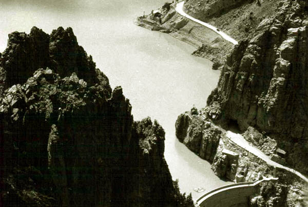
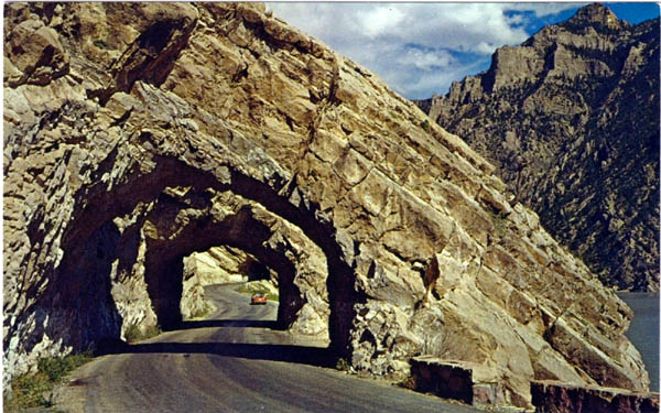
Airplane view of Cody Road Tunnel at the top of the
Dam Hill Road, approx. 1926.
1910.
West of the top of Dam Hill there were five tunnels.
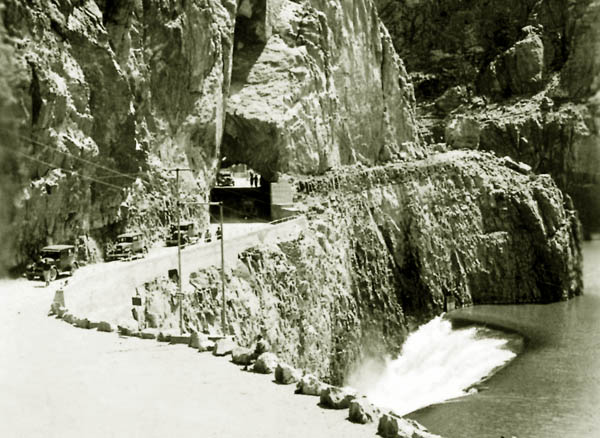
Exit from Tunnel at top of Dam Hill Road Roadway, approx. 1926.
Tunnel on Cody Road on north side of the Reservoir.
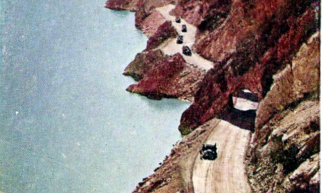
The most picturesque of the tunnels were the so-called "Triple Tunnels."
Triple Tunnels.
As indicated by the next photo, above the reservoir, the valley flattened out a bit, but the road in the early years did not improve. It was
still one-lane.
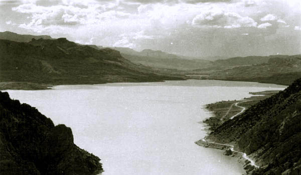
View of the upper reservoir, looking west.
The above scene of the reservoir, although a bit smaller, reminds one of Loch Ness in the Great Glen; no monster and no
castles, howeer.
Ahead lay Sylvan Pass. If Dr. Bacmeister thought Shoshone Canyon was exhilerating.
Sylvan Pass was something else:
Eight miles inside the boundary you cross Sylvan Pass and here your motor
has its real test. As we loafed along this road, enjoying the wonders of
nature and congratulating ourselves upon having passed the busy Rangers
despite our lack of a spare tire (and we confess this moment had been on
our minds all the way from Chicago, "regulations" calling for at least
one spare on every car) we became conscious of the fact that our engine
was not working smoothly. It began to puff and spit, grunt and miss
and hesitate until we became alarmed lest it stop. We shifted into
intermediate and raced the engine a bit, just to clean the cylinders,
and then went back into high. Again the spitting and missing. We tried
a richer mixture, then a leaner one. No use! The engine slowed down and
seemed ready to stop. Again we went into second but now the motor
refused to pull even in second and, perforce, we shifted into "low,"
breathing maledictions upon the car for "falling down" on the job
just here and menacing our chance of reaching Lake Camp in time for
dinner! At this point we "looped the loop," crossed our own road on
the new concrete viaduct and then, noting the huge drop from upper to lower
roadway, began to realize the reason for our car's apparent misbehavior.
Sylvan Pass offers one of the most difficult climbs for the motor to be
found and it is a good car indeed that does not have to drop into "low"
to negotiate the last three miles of this stiff upgrade. We stopped
for a time at the top of the pass—there in that waste of tumbled rock—just
to watch the boiling, protesting, laboring machines top the grade.
Make sure that "she is hitting on all six" before you essay this bit of
alpine world.
The Holy City, approx. 1924. Image by Anahol Curtis.
Along the road up to Yellowstone there were many rock formations which were given names by early
photographers. The Holy City, apparently inspired by a hymn that was popular in the early
1900's, the "Holy City" composed by Michael Maybrick with lyrics by Frederick Weatherly. See Revelation 21.
The Holy City, approx. 1920.
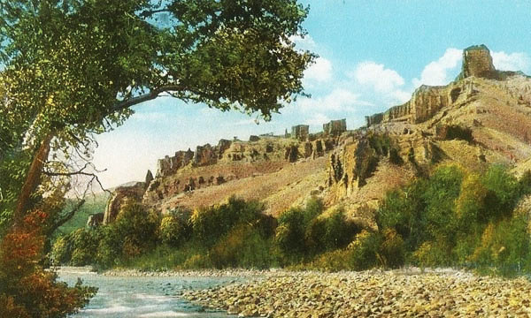
Other rock formations also had a religious significance, including Cathedral Rocks and the Pulpit.
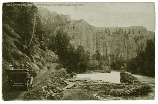
Cathedral Rocks, approx. 1920.
Next Page: Cody Road Continued, Sylvan Pass.
|